Categories
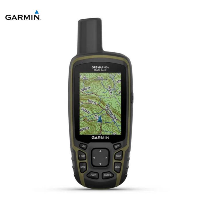
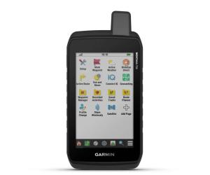
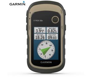
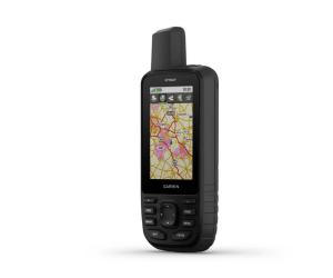
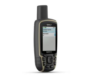
GARMIN GPS GPSMAP 65
GARMIN GPS GPSMAP 65
€ 429,00
Excellent availability
Codice 010-02451-11
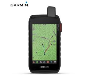
Support for multi-band technology and GNSS (GPS, GLONASS, Galileo, QZSS and IRNSS) provides optimal accuracy in areas with poor reception, in cities or in open spaces with obstacles.TopoActive Europe maps provide detailed views of road and trail networks, waterways, natural features, land use areas, buildings and much more.
Receive emails, texts and alerts directly on your portable device when paired with a compatible smartphone.
Plan, review, and sync waypoints, routes, and tracks using the Garmin Explore 1 app and website. You can also review completed tasks while you're still out and about.
With your compatible device and a microSD memory card, conveniently download even more detailed maps such as TrekMap Italia V6, the topographic map of our country in a reference scale of up to 1:5,000, a large trail network and ActiveRouting functions to be guided based on your activity or means of movement.
Get automatic cache updates from Geocaching Live, including descriptions, logs, and suggestions.
Specifications:
Lens Material: Chemically strengthened glass
Dimensions: 6.1 x 16.0 x 3.6 cm
Weight: 217g with batteries
Waterproof rating: IPX7
Screen type: 2.6″ transflective TFT, color, 65k
Screen size, WxH: 3.6cm x 5.5cm; 2.6″ diag (6.6cm)
Screen resolution, WxH: 160 x 240 pixels
Battery 2 AA batteries (not included)
Battery life: 16 hours
Memory/History: 16 GB (user space varies based on maps included)
Interface: mini USB High speed and NMEA 0183
Preloaded cartography: Yes (TopoActive Europe; navigable)
Additional cartography: Yes
World Basemap: Yes
Automatic route calculation (with precise turn directions): Yes
Map segments: 3000
Birdseye: 250 Birdseye satellite image files
Includes detailed hydrographic information (coastlines, river/lake shores, wetlands, and perennial and seasonal streams): Yes
Includes searchable points of interest (parks, campgrounds, viewpoints and picnic areas): Yes
Allows you to view national, state and local parks, forests and nature reserves: Yes
Storage and power capacity: 32GB microSD™ (not included)
Memorable positions: 5000
Tracks: 200
Track log: 10,000 points, 200 saved tracks
Memorable routes: 200, 250 points per route; automatic route calculation 50 points
Sensors:
- GPS
- GLONASS
- GALILEO
- QZSS
- High sensitivity GPS receiver
- GPS Compass (Moving)
- Multiband frequency
Similar products
reliable and quick delivery within 24/48 hours

