Categories
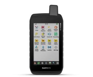
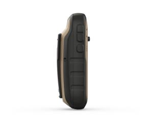
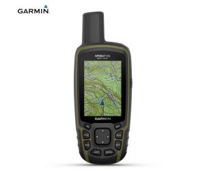
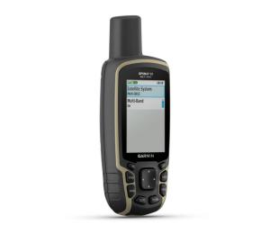
GARMIN GPS GPSMAP 67
GARMIN GPS GPSMAP 67
€ 525,00
Excellent availability
Codice 010-02813-01
Access multiple global navigation satellite systems (GPS, GLONASS, Galileo and QZSS). You can access more frequencies sent by satellite systems for more accurate location tracking in areas where GNSS signals are reflected, weak, or, more generally, cannot penetrate.Hike every trail with ABC sensors, which include an altimeter for elevation data, a barometer to monitor the weather and a 3-axis electronic compass.
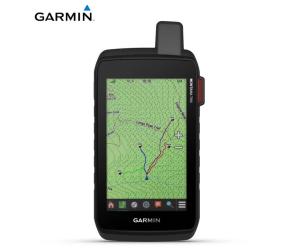
Download high-resolution photorealistic maps directly to your device via Wi-Fi ® technology. Easily find routes, choose locations, find parking, create waypoints and much more.
Receive emails, texts and alerts directly on your portable device when paired with a compatible smartphone.
Maps Pre-loaded TopoActive maps for Europe show peaks, parks, coasts, rivers, lakes and geographic points.
With an Outdoor Maps+ subscription, you can get public land information, landowner names, state maps, game management unit boundaries, BLM boundaries and more.
This portable device complies with MIL-STD-810 military standards, guaranteeing resistance to extreme temperatures, shocks and water and is also compatible with night vision goggles.
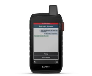
The GPSMAP 67 series allows you to save on the weight of your equipment thanks to a built-in LED flashlight that can be used for signaling for help.
Download automatic cache updates from Geocaching Live, including descriptions, logs, and tips. When connected via Wi-Fi or the Garmin Explore ™ smartphone app, each search will be uploaded to your Geocaching.com profile.
Once connected to the Garmin Explore smartphone app, you can have access to real-time forecast information, so you can always stay up to date on weather trends.
Plan, review, and sync waypoints, routes, and tracks using the Garmin Explore app and website. You can also review completed tasks while you're still out and about.
The internal rechargeable lithium-ion battery provides battery life of up to 180 hours in GPS mode and up to 840 hours in expedition mode.
Specifications:
Lens Material: Chemically strengthened glass
Dimensions: 6.1 x 16.3 x 3.5 cm
Weight: 230g with batteries
MIL-STD-810: Yes thermal, shock, water; bare unit only
Waterproof rating: IPX7
Screen type: 3″ transflective TFT, color
Screen size, WxH: 3.8cm x 6.3cm; 3″ diag (7.6cm)
Screen resolution, WxH: 240 x 400 pixels
Battery: Lithium ion, rechargeable
Battery Life: Up to 180 hours in default mode, up to 840 hours in shipping mode
Memory/History: 16 GB (user space varies based on maps included)
Interface: USB C
Preloaded cartography: Yes (TopoActive Europe; passable roads)
Additional cartography: Yes
World Basemap: Yes
Automatic route calculation (with precise turn directions): Yes
Map segments: 15000
Birdseye: Yes directly on the device
Includes detailed hydrographic information (coastlines, river/lake shores, wetlands, and perennial and seasonal streams): Yes
Includes searchable points of interest (parks, campgrounds, viewpoints and picnic areas): Yes
Allows you to view national, state and local parks, forests and nature reserves: Yes
Storage and power capacity: 32GB max microSD™ (not included)
Memorable positions: 10000
Tracks: 250
Track log: 20,000 points, 200 saved GPX tracks, 300 saved fitness activities
Activities: Yes
Memorable routes: 250, 250 points per route; automatic route calculation 50 points
Sensors:
- GPS
- GLONASS
- GALILEO
- QZSS
- BEIDOU
- IRNSS
- Barometric altimeter
- Compass with tilt compensation, 3 axes
- High sensitivity GPS receiver
- GPS Compass (Moving)
- Multiband frequency
Similar products
reliable and quick delivery within 24/48 hours


