Categories
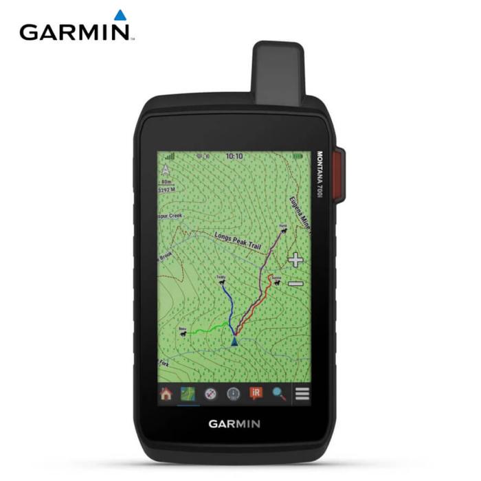
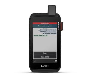
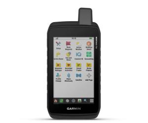
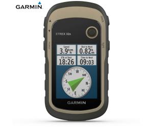
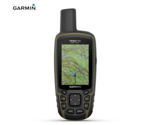
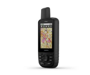
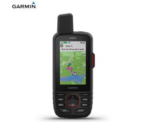
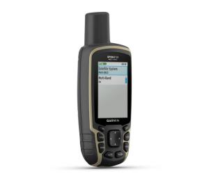
GARMIN GPS MONTANA 750I IN REACH
GARMIN GPS MONTANA 750I IN REACH
€ 809,00
Excellent availability
Codice 010-02347-01
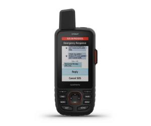
Exchange text messages with your friends/family, post on social media, or communicate from one inReach device to another (satellite subscription required).In case of emergency, activate the interactive SOS directed to Garmin Response ℠ , the professional coordination center for emergency response, operational 24 hours a day, 24 hours a day (satellite subscription required).
Rather than relying solely on smartphone coverage, your messages, SOS requests and tracking are transmitted via the Iridium ® global satellite network (satellite subscription required).
The optional inReach Weather Forecast Service provides detailed updates directly to your Montana handheld or a paired device so you know ahead of time what the weather conditions will be like along your route.
This durable, waterproof device has been tested to military standards and features a 5” glove-friendly touchscreen that is 50% larger than previous Montana models.
Capture images of your adventures with the built-in 8-megapixel digital camera. You can assign georeferences of the location where the photo was taken, allowing you to return to the exact spot in the future.
Easily switch from routes to on-road navigation with pre-loaded City Navigator street maps, which guide you through simple turn directions with spoken street names.
For your adventures, use the preloaded TopoActive Europe maps. View elevations, coastlines, rivers, and more.
Downloading Birdseye Satellite Images directly to your device (no annual subscription required) allows you to view photorealistic views and create waypoints based on landmarks.
Hike your next trail with ABC sensors, including an altimeter for elevation data, a barometer to monitor the weather, and a 3-axis electronic compass.
Connecting via cellular 1 allows you to access up-to-date weather forecasts through the Garmin Connect app.
For hunting enthusiasts and trainers, Montana allows you to synchronize with portable devices of the Astro ® or Alpha ® series
The helpful Wikiloc app lets you easily download hiking and cycling routes shared by other outdoor enthusiasts like you. Get a free 60-day trial of Wikiloc Premium to use this and other exclusive features. Find out more.
Specifications:
Lens Material: Chemically strengthened glass
Dimensions: 9.19 x 18.3 x 3.3 cm
Weight: 410g with batteries
MIL-STD-810: Yes thermal, shock, water; bare unit only
Waterproof rating: IPX7
Touch screen: Yes
Screen type: 5" WVGA Transflective, dual orientation
Screen dimensions, WxH: 6.48 cm x 10.8 cm; 5″ diag (12.7cm)
Screen resolution, WxH: 480 x 800 pixels
Battery: Lithium ion, rechargeable
Battery life: GPS mode: up to 18 hours; Expedition mode: up to 330 hours; GPS mode, 10 min tracking: up to 18 hours
Memory/History: 16 GB (user space varies based on maps included)
Interface: Micro USB high speed and NMEA 0183
Preloaded cartography: Yes (TopoActive Europe)
Additional cartography: Yes
World Basemap: Yes
Automatic routing (with precise turn directions): Yes (with optional mapping for detailed roads)
Map segments: 15000
Birdseye: Yes directly on the device
Includes detailed hydrographic information (coastlines, river/lake shores, wetlands, and perennial and seasonal streams): Yes
Includes searchable points of interest (parks, campgrounds, viewpoints and picnic areas): Yes
Allows you to view national, state and local parks, forests and nature reserves: Yes
Storage and power capacity: 32GB max microSD™ (not included)
Memorable positions: 10000
Tracks: 250
Track log: 20,000 points, 200 saved GPX tracks, 300 saved fitness activities
Activities: Yes
Memorable routes: 250, 250 points per route; automatic route calculation 50 points
RINEX Registration: Yes
Sensors:
- GPS
- GALILEO
- Barometric altimeter
- Compass with tilt compensation, 3 axes
- High sensitivity GPS receiver
- GPS Compass (Moving)
Similar products
reliable and quick delivery within 24/48 hours

